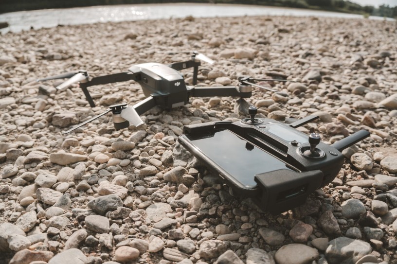
The demand for accurate, efficient, and cost-effective surveying solutions has grown rapidly across the GCC. Industries such as construction, oil and gas, mining, infrastructure, and environmental management increasingly rely on drone technology to collect detailed site information. Modern drones not only reduce project timelines but also improve safety by reaching difficult or hazardous locations. From aerial mapping to asset inspections, drones have become essential for organizations seeking precise geospatial data.
Among the latest innovations, the 360 camera drone provides an entirely new perspective by capturing immersive visuals that support better planning and decision-making for complex projects.
Why Drone Surveys Are Changing the Industry
Traditional surveying methods often require extensive manpower, expensive equipment, and significant time. Drone-based surveys simplify these challenges by collecting high-resolution imagery within a fraction of the time.
Some key advantages include:
- Faster data collection across large project sites.
- Improved worker safety by reducing manual inspections.
- Accurate terrain mapping and volumetric calculations.
- Lower operational costs compared to conventional surveys.
- Better documentation for project monitoring and reporting.
Organizations across the GCC are adopting drones to improve efficiency while maintaining high standards of accuracy.
The Importance of High-Quality Data Collection
Capturing aerial images is only the first step in a successful survey. The quality of the collected data directly affects the final mapping results. High-resolution sensors, stable flight systems, and intelligent automation ensure reliable outputs.
A 360 camera drone enhances data collection by providing panoramic imagery that helps engineers, inspectors, and project managers visualize every angle of a location. This comprehensive view supports detailed inspections, virtual site visits, and enhanced documentation.
Applications Across Multiple Industries
Drone surveying serves numerous industries throughout the GCC, including:
- Infrastructure development
- Smart city planning
- Mining operations
- Oil and gas inspections
- Agricultural monitoring
- Environmental assessments
- Coastal and marine mapping
Each industry benefits from faster data acquisition and improved project visibility.
Choosing the Right Software for Drone Survey Data
Collecting aerial imagery alone is not enough. Raw drone data must be processed into useful outputs such as orthomosaic maps, digital surface models, 3D models, and elevation reports.
Selecting the best software for processing drone survey data in the GCC helps organizations transform large datasets into actionable insights. Reliable processing software offers automated workflows, accurate measurements, cloud collaboration, and compatibility with various drone platforms.
Modern software solutions also integrate AI-powered analysis, making it easier to identify changes, monitor project progress, and generate professional reports.
Key Features to Look For
When evaluating drone survey software, consider features such as:
- High-speed image processing
- Accurate photogrammetry
- GIS and CAD compatibility
- Cloud-based collaboration
- Automated reporting
- Secure data management
- Scalable project handling
Choosing the best software for processing drone survey data in the GCC enables organizations to maximize the value of every flight while maintaining project accuracy.
How Gulfnet Emirates Supports Modern Drone Surveying
Businesses looking for reliable drone solutions need an experienced technology partner that understands regional industry requirements. Gulfnet Emirates provides advanced drone technologies and surveying solutions designed to support infrastructure, engineering, inspection, and industrial projects throughout the GCC.
By combining professional drone platforms with innovative data solutions, Gulfnet Emirates helps organizations improve operational efficiency, reduce project risks, and generate accurate mapping results. Their expertise enables businesses to adopt modern surveying techniques that align with international standards while meeting local project demands.
Top Companies/agencies in Drone Surveying and Mapping
- DroneDeploy
- Gulfnet Emirates
- Pix4D
- Trimble
- Esri
Future Trends in Drone Surveying
Drone technology continues to evolve with smarter automation, artificial intelligence, and improved imaging capabilities. Future developments will include autonomous flight planning, real-time cloud processing, digital twins, and enhanced 3D visualization.
As governments and private organizations continue investing in digital infrastructure, drone surveying will play an even greater role in construction monitoring, environmental conservation, and industrial inspections. Companies that embrace these innovations today will gain a competitive advantage through faster decision-making and more accurate project execution.
Conclusion
Drone surveying has become an indispensable tool for organizations across the GCC seeking greater efficiency, safety, and precision. Advanced drones, intelligent software, and experienced service providers work together to deliver reliable geospatial information for projects of every size. As technology continues to advance, businesses that invest in modern drone solutions will be better positioned to improve productivity, reduce costs, and achieve successful project outcomes.