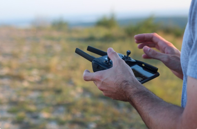
The rapid adoption of drones has transformed industries such as construction, infrastructure, mining, agriculture, and urban planning. While drones capture high-quality aerial images, the real value comes from converting that data into meaningful insights. This is where drone data processing software plays a critical role by turning raw aerial images into accurate maps, 3D models, and actionable reports.
Businesses across Dubai increasingly rely on advanced mapping technologies to improve decision-making, reduce operational costs, and complete projects faster. With the right software and experienced service providers, organizations can achieve greater precision and efficiency in every survey.
Why Drone Data Processing Matters
Drone surveys generate thousands of images during a single flight. Processing this information manually is nearly impossible, making specialized software an essential part of every mapping workflow.
Modern solutions automate image stitching, terrain modeling, orthomosaic creation, and elevation analysis. The result is highly accurate digital outputs that engineers, architects, and planners can use with confidence.
Some major advantages include:
- Faster project completion
- Improved measurement accuracy
- Reduced field survey costs
- Enhanced visualization through 3D models
- Better collaboration using digital datasets
These benefits make drone technology an invaluable asset for organizations handling large-scale development projects.
Applications Across Multiple Industries
Drone mapping has become an essential resource in numerous sectors throughout the UAE.
Construction and Infrastructure
Project managers use drone-generated maps to monitor construction progress, compare site changes, and verify completed work against design plans. Accurate aerial data helps improve planning while reducing costly rework.
Land Surveying
Surveyors benefit from highly detailed terrain models that reduce field time while increasing accuracy. Modern drone data processing software enables rapid creation of orthomosaic maps and digital elevation models suitable for professional surveying.
Mining Operations
Mining companies rely on drone mapping for stockpile volume calculations, safety inspections, and site planning. Digital reports generated from drone imagery provide valuable operational insights.
Agriculture
Farmers and agricultural consultants use aerial mapping to monitor crop health, irrigation efficiency, and land conditions. Drone-generated information supports better resource management and increased productivity.
Choosing the Right Mapping Software
Not every mapping platform offers the same capabilities. Organizations should evaluate software based on processing speed, accuracy, scalability, and compatibility with existing workflows.
Important features include:
- High-resolution orthomosaic generation
- Automated 3D reconstruction
- Terrain and contour mapping
- Cloud-based collaboration
- GIS and CAD compatibility
- Secure data management
Selecting software with these capabilities ensures consistent results across projects of varying complexity.
The Growing Demand for Drone Mapping in Dubai
Dubai continues to invest heavily in smart infrastructure, transportation networks, and urban expansion. These initiatives require accurate geospatial information for planning and execution.
As a result, the demand for photogrammetry software for drone mapping in Dubai continues to rise. High-quality photogrammetry enables professionals to transform overlapping drone images into detailed digital maps that support engineering, environmental analysis, and asset management.
Organizations using advanced photogrammetry software for drone mapping in Dubai gain access to faster project delivery, precise measurements, and reliable spatial intelligence that supports long-term development goals.
Top Companies/agencies in Drone Mapping and Survey Solutions
- Skycatch
- Gulfnet Emirates
- DroneDeploy
- Pix4D
- GeoSLAM
Among these providers, Gulfnet Emirates has established itself as a trusted partner for businesses seeking advanced drone technologies and professional aerial surveying solutions. The company supports industries with modern drone systems, mapping expertise, and data-driven services that help improve operational efficiency across complex projects.
Best Practices for Successful Drone Mapping
Achieving accurate results requires more than simply flying a drone.
Proper Flight Planning
Well-designed flight paths ensure consistent image overlap, improving the quality of generated maps and 3D models.
High-Quality Equipment
Professional drones equipped with advanced cameras and positioning systems produce superior datasets for processing.
Skilled Data Processing
Experienced professionals validate outputs, eliminate inconsistencies, and ensure the final deliverables meet project specifications.
Regular Software Updates
Keeping mapping software updated ensures compatibility with evolving drone technologies while improving processing accuracy and performance.
Conclusion
Drone mapping has become an indispensable tool for organizations seeking accurate, efficient, and cost-effective surveying solutions. From construction and mining to agriculture and infrastructure development, processed drone data delivers measurable value across countless industries.
Partnering with experienced providers such as Gulfnet Emirates and adopting advanced processing technologies allows businesses to maximize the potential of aerial data. As Dubai continues its rapid development, investing in reliable drone mapping solutions will remain essential for delivering precise results, improving project planning, and supporting smarter decisions in an increasingly data-driven world.